Spatial Methods for Geochemical Proxies
Proxy calibrations can be fooled by geography. We build Bayesian spatial models that separate real environmental signals from spatial confounding.
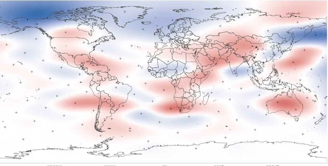
Geochemical proxies are how we reconstruct past climates: molecular and isotopic signals preserved in sediments that correlate with temperature, precipitation, or vegetation. The problem is calibration. Sites near each other tend to have similar climates and similar proxy values, and this spatial autocorrelation can make a proxy look more sensitive than it really is.
We build hierarchical Bayesian spatial models to deal with this. Instead of treating geography as noise, we model it explicitly as a structured process. This lets us pull apart the portion of proxy variation that tracks a real environmental variable from the portion that just reflects “nearby sites look alike.” It turns out conventional calibrations can substantially overestimate proxy sensitivity. That matters when you’re trying to interpret a shift in the sedimentary record.
Spatially aware calibrations
Our models produce calibrations that account for regional baselines. They give more honest estimates of how big a change in proxy signal you need before you can actually claim the environment changed, rather than just seeing spatial structure.
Uncertainty
We want paleoclimate reconstructions to come with real uncertainty bounds. Our framework produces full posterior distributions, not point estimates, so you can make statistically defensible claims about what the past looked like.